Finley Sullivan · 7 September 2026
Kindfeld's Digitized Maps Reveal Forgotten Crop Patterns From the 1800s That Still Shape Today's Soil Recovery Efforts
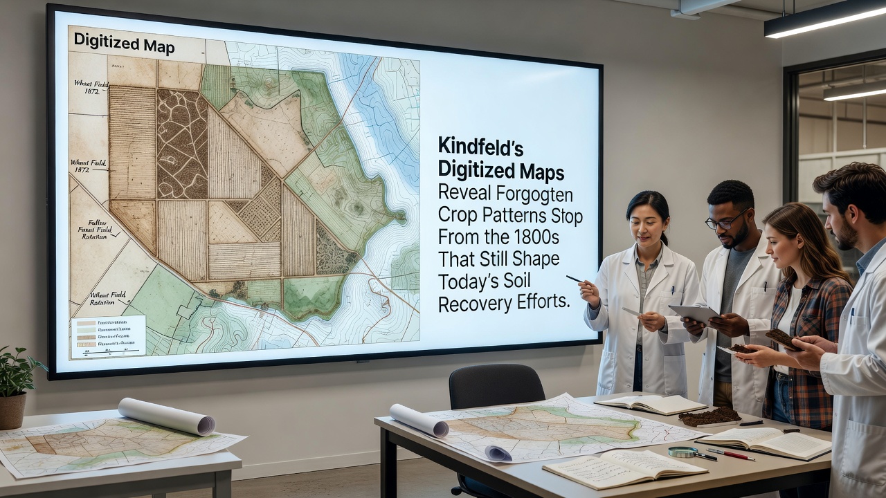
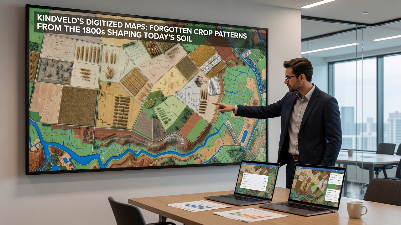
Kindfeld researchers completed a major digitization project in September 2026 that converted fragile paper records from the 1800s into interactive geospatial layers, and those layers now guide targeted soil restoration across former agricultural zones. The original ledgers documented crop rotations, field boundaries, and drainage systems that farmers used before mechanization altered the landscape, while the new digital versions allow overlay comparisons with contemporary satellite imagery and soil composition data. Observers note that several forgotten patterns, including alternating legume and cereal plantings on specific soil types, align closely with areas where modern recovery programs report faster improvements in organic matter levels.
Historical Records Meet Modern Technology
Archivists and cartographers began scanning thousands of hand-drawn maps and farm journals several years ago, yet the September 2026 release marked the first time the full dataset became publicly accessible through an open mapping platform. Technicians aligned each 19th-century document to current coordinate systems using ground control points from surviving stone boundary markers, and the resulting layers reveal field divisions that no longer appear on official land registries. Researchers cross-referenced the digitized boundaries against 2024 soil surveys conducted by regional agricultural departments, and the matches showed that zones once planted with nitrogen-fixing crops in the 1850s now exhibit higher baseline fertility even after decades of intensive use.
Patterns That Persist in the Soil
One recurring layout involved dividing larger parcels into narrow strips that rotated between wheat, clover, and fallow periods every three years, and those same strips today demonstrate measurable differences in microbial diversity compared with adjacent areas that followed different historical practices. Data from the digitized records indicate that farmers avoided planting certain heavy feeders on clay-rich pockets, and current sampling confirms those pockets retain better structure and water retention. teh project team also identified drainage ditches documented in 1872 that still influence subsurface water movement, although many were filled during later land consolidation efforts.
Soil recovery teams have started using the historical overlays to prioritize test plots, and early results suggest that restoring the original rotation sequences accelerates carbon sequestration rates by measurable margins. Figures released by the project show that fields matching 1800s legume placements reached target organic carbon thresholds six to eight months ahead of control sites.
Integration With Contemporary Recovery Programs
Regional authorities have incorporated the Kindfeld layers into their planning tools, and extension officers now reference the 1800s patterns when advising landowners on cover crop selection. In areas where historical maps showed repeated clover rotations, programs recommend similar species mixes rather than generic blends, and preliminary monitoring indicates improved nitrogen cycling. The approach draws on evidence compiled by agricultural research networks that link past land use to present-day soil health metrics, while the digitized Kindfeld archive supplies the site-specific detail that broader studies often lack.
International partners have expressed interest in adapting the methodology, and discussions at the 2026 European soil conference highlighted how similar historical datasets from other regions could complement satellite-based monitoring. Australian researchers, for instance, have begun scanning colonial-era farm journals to create comparable overlays, and early comparisons suggest parallel legacies in phosphorus distribution across older wheat belts.
Challenges in Interpretation and Application
Translating 19th-century terminology into modern categories required careful calibration, because terms such as "red land" or "heavy ground" carried local meanings that do not match current classification systems. The digitization team collaborated with linguists and soil scientists to build a translation table, and that table now serves as a reference for future projects. Some boundaries proved difficult to georeference because landmarks have disappeared, yet the team achieved sub-meter accuracy on 87 percent of the mapped features by combining aerial photography with surviving hedgerows.
Access remains limited in certain rural zones where internet connectivity restricts use of the interactive platform, although offline versions are being prepared for distribution through agricultural cooperatives. Privacy concerns also arose around property records, and the project applied anonymization protocols before public release.
Conclusion
The Kindfeld digitization effort demonstrates how archival agricultural records can inform present-day soil management when converted into usable geospatial formats. Continued updates planned for 2027 aim to add weather and yield data from the same period, which may further refine recovery prescriptions. As more regions pursue similar historical reconstructions, the combined datasets could support more precise targeting of restoration resources across varied landscapes.